10 walking tracks to explore the best of Belconnen

With Canberra in lockdown and the ACT Government encouraging everyone to stay within their local area when exercising, there’s never been a better time to explore the best of our bush backyard.
From nature reserves to Lake Ginninderra, there’s plenty to see along Belconnen’s most picturesque walking tracks and we’ve rounded up 10 of the best.
Gossan Hill
Say hello to wildflowers, parrots, kangaroos, and postcard-worthy views. You’ll find this 1.7-kilometre self-guided walk at Weatherburn Close in Bruce.
Mount Painter

This hidden gem is perfect for Belconnen locals, especially those living in Aranda and Cook.
A climb that’s almost flat in some sections and quite steep in others, its undulating nature means there are plenty of opportunities for a rest along the way. Once you get to the top, stand back and enjoy the sublime views.
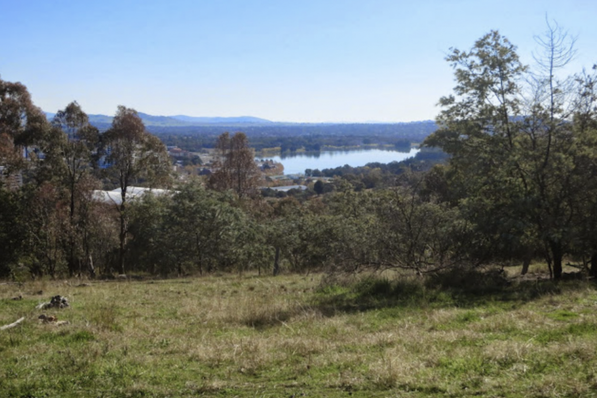
Lake Ginninderra

A scenic walk that loops around the lake, there are many starting points to choose from.
There are lovely parks, picnic areas, and man-made beaches along the way—but keep in mind that if you want to loop the whole lake, it’s around 7km.
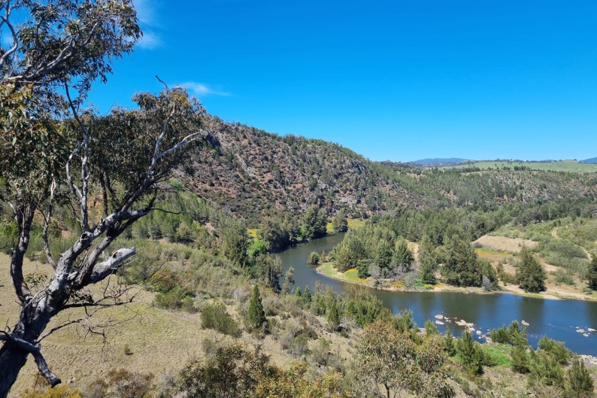
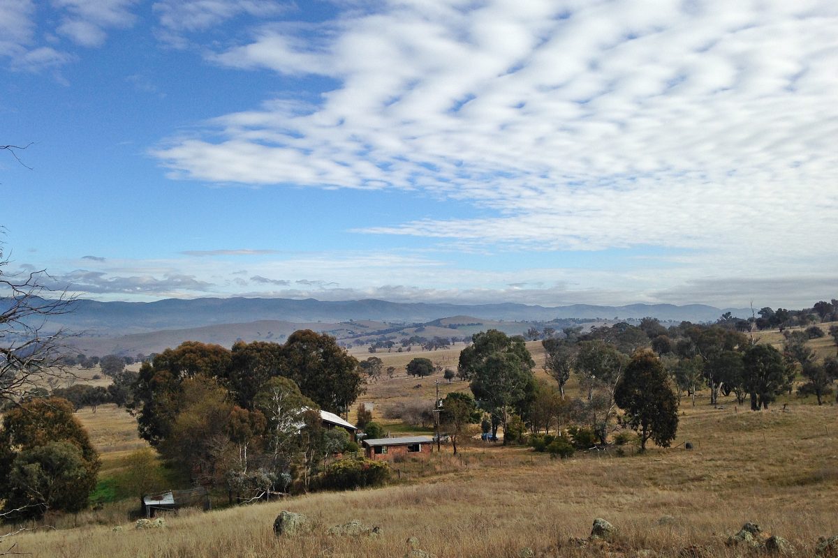
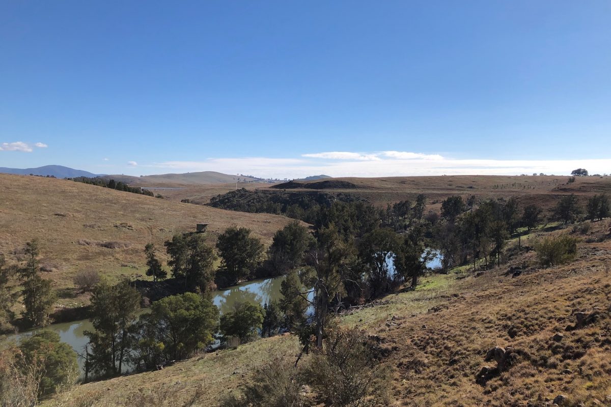
Shepherds Lookout
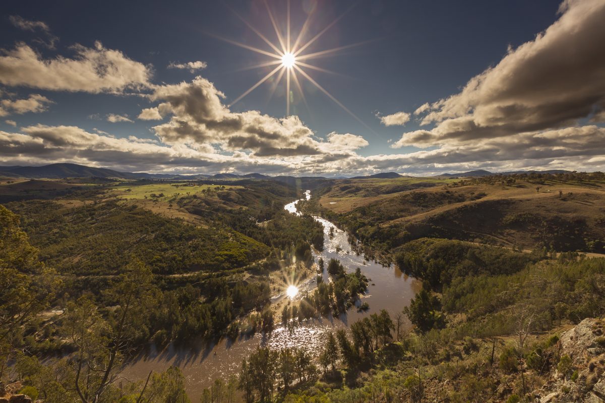
For Strathnairn residents, this one is in your backyard! Shepherds Lookout offers breathtaking views across the Murrumbidgee, just 600 metres from the car park on Stockdill Drive. Watch the river meander below, or the sun go down across the Brindabellas.
The perfect way to feel immersed in nature, just a stone’s throw away.
Canberra Centenary Trail

While the whole trail stretches a whopping 145 kilometres, why not enjoy a section of the iconic walk close to home?
Sectioned off into regions, start at Hall Village and end at Black Mountain, or kick off anywhere along the trail to see urban and rural environments.
Pinnacle Nature Reserve
With views across the Molonglo River Valley, the Pinnacle Nature Reserve is just a short drive from the heart of Ginninderry.
Protecting a small area of endangered and rare plants, enjoy the natural surroundings during a leisurely walk in the 154-hectare reserve.
Umbagong District Park

Located along the banks of Ginninderra Creek, visit the Umbagong District Park to see a new side of the Ginninderra Creek catchment.
Explore the creek or look for some history in the creek beds where you may find Aboriginal axe grinding grooves.
Aranda Bushland Nature Reserve

For a different view of Black Mountain, walk the sloping ridges of the 104-hectare Aranda Bushland Nature Reserve.
See rare plants, say hello to woodland birds and enjoy breathtaking views.
Kama Nature Reserve
This hidden track showcases the best of Canberra’s bushland and as the home for many important species, you’re sure to see a critter or two.
Located off William Hovell Drive opposite the suburb of Hawker and about 5.5 km from the Glenloch Interchange, there are two marked walks that present plenty of opportunity to enjoy the wildflowers.
Bicentennial National Trail (BNT)
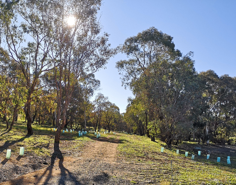
Take a journey into tranquil landscapes along part of the Bicentennial National Trail.
The Trail, dreamed up by legendary horseman R.M. Williams, stretches for 5,330 from Cooktown in Queensland down the eastern coast of Australia to Healesville, in Victoria but also weaves through Ginninderry.
To access the trail, walk through the farm gates at the end of McClymont Way (next to The Link) and follow the signs north, hugging the western edge of Strathnairn, toward Parkwood Road.
Image credits: ACT Government/VisitCBR, Environment ACT, CBR Hikes